Orthomosaic Drone Mapping:
I program my drone to fly back and forth over your property, taking many photos with the camera pointed straight down. After the images are uploaded for stitching and processing, the resulting map is similar to a satellite map but much higher resolution and more up-to-date.
Pricing: $200 for mapping up to 10 acres, $5 per additional acre
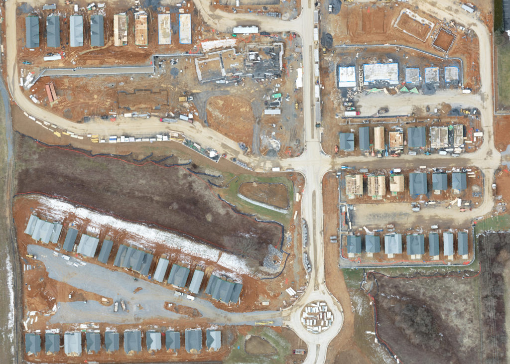
2D Example:
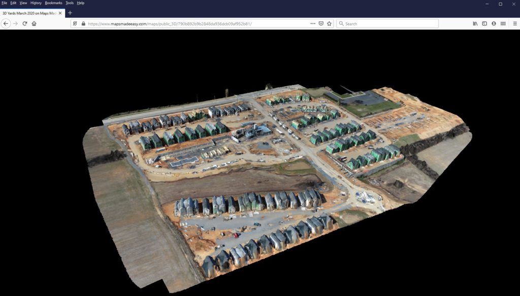
3D Example (click image for link):